
LOCAL NEWS — The Huntsville National Weather Service issued a Hazardous Weather Outlook notice on Monday afternoon for Moore County. Locals should anticipate widespread thunderstorms associated with a northward moving warm front. NWS says that severe thunderstorms with large hail and gusty winds are possible. A second set of storms that could bring tornado activity could happen in the evening hours.
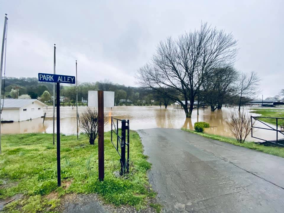
On Monday morning, the Mulberry Creek and it’s tributaries were already straining their banks. Metro officials issued high water warnings for Winchester Highway, Dick McGee Road, Highway 129 near Booneville, and Main Street. •
{The Lynchburg Times is an independently owned and operated newspaper that publishes new stories every morning. Covering Metro Moore County government, Jack Daniel’s Distillery, Nearest Green Distillery, Tims Ford State Park, Motlow State Community College, Moore County High School, Moore County Middle School, Lynchburg Elementary, Raider Sports, plus regional and state news.}